
I had a great time revisiting my Photogrammetry subject and learning more about Unmanned Aerial Vehicles(UAVs) and their application to Mapping from veteran practitioners and enthusiasts organized by UP Geomatics Alumni Association. Though its sad to say that the highly anticipated speaker from Philippine Navy failed to make it for the duration of the seminar due to a delayed commercial flight, this demonstration part by our friends from RASA were at least became the highlight of the day.
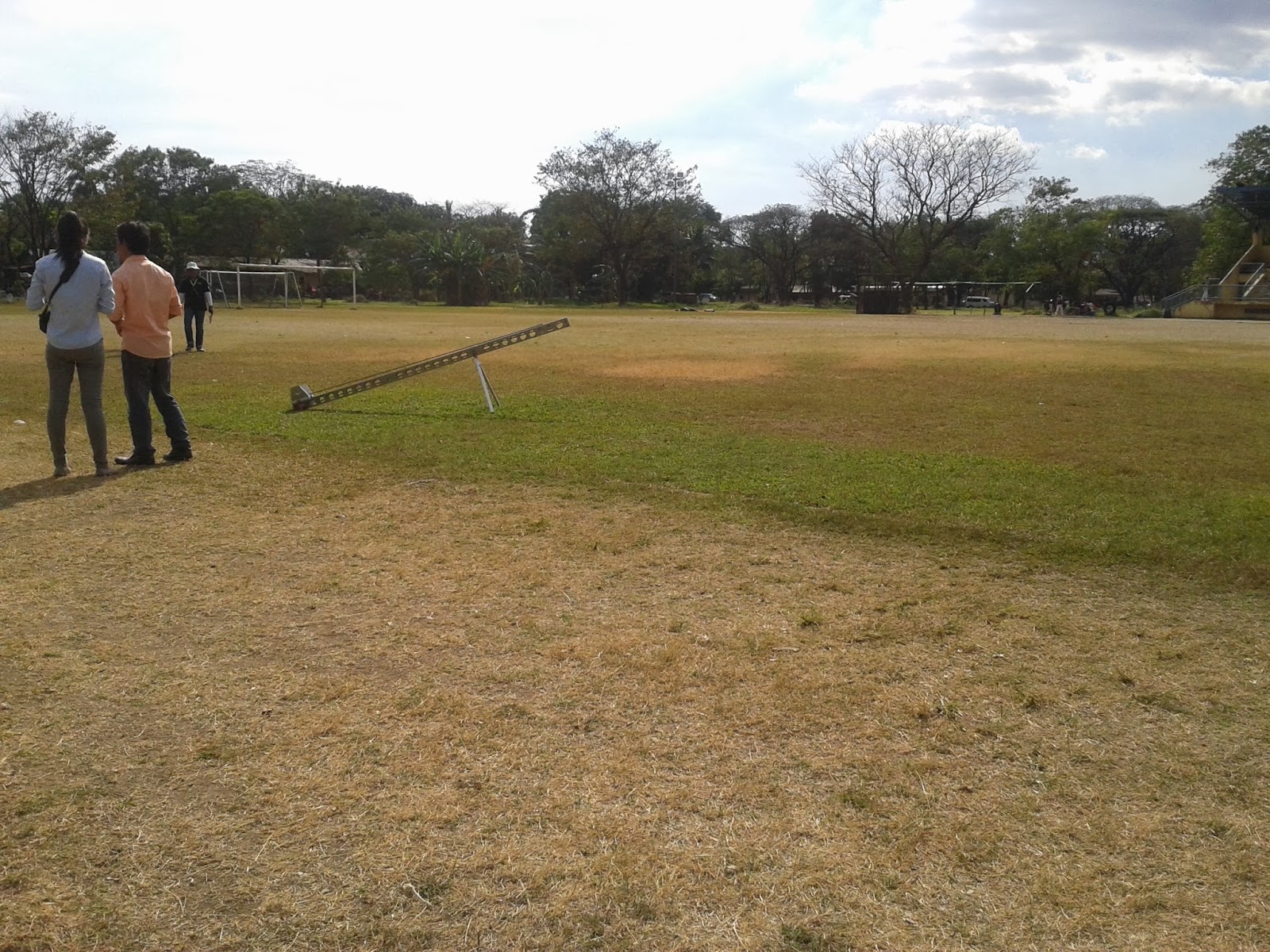
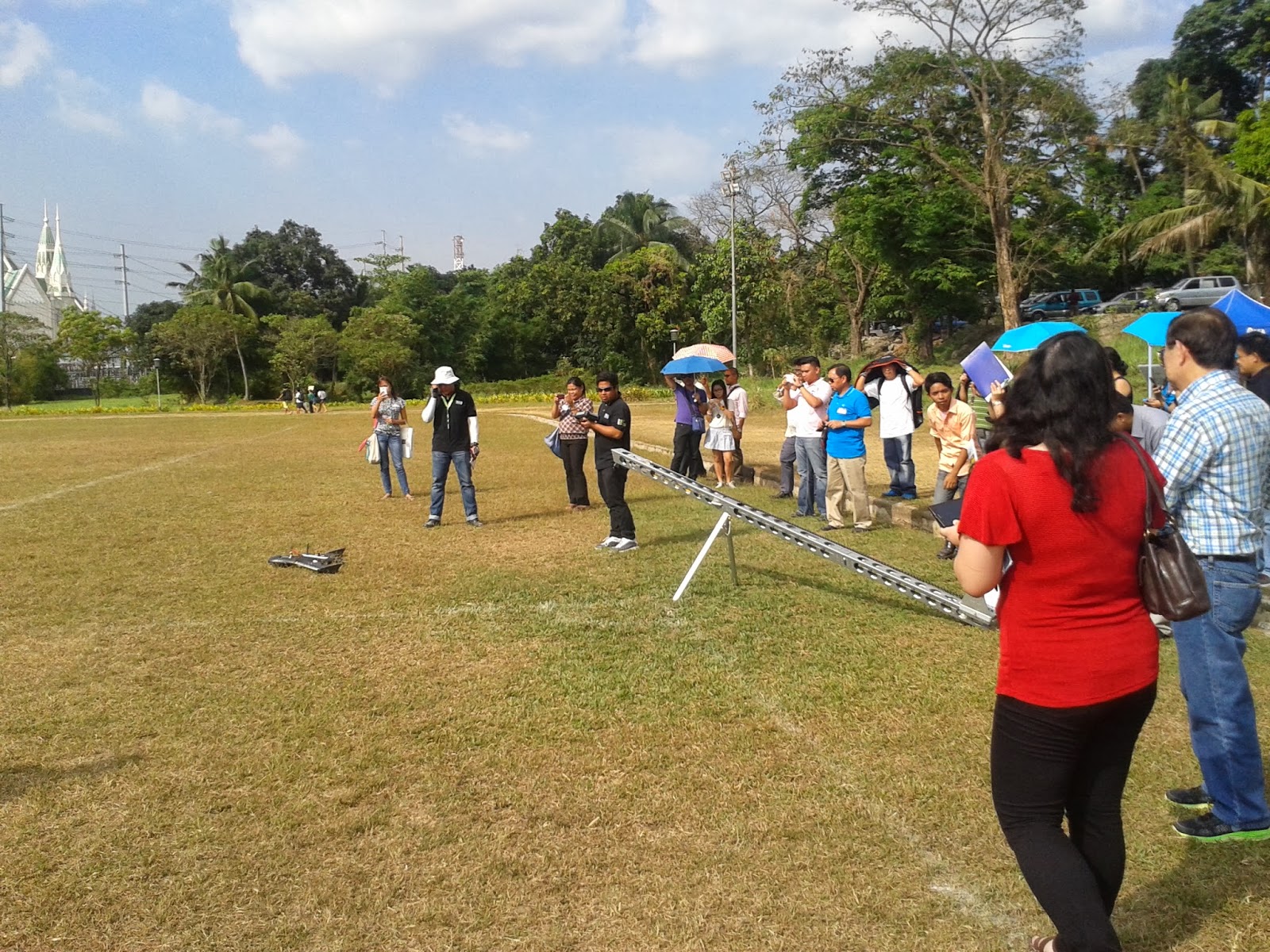
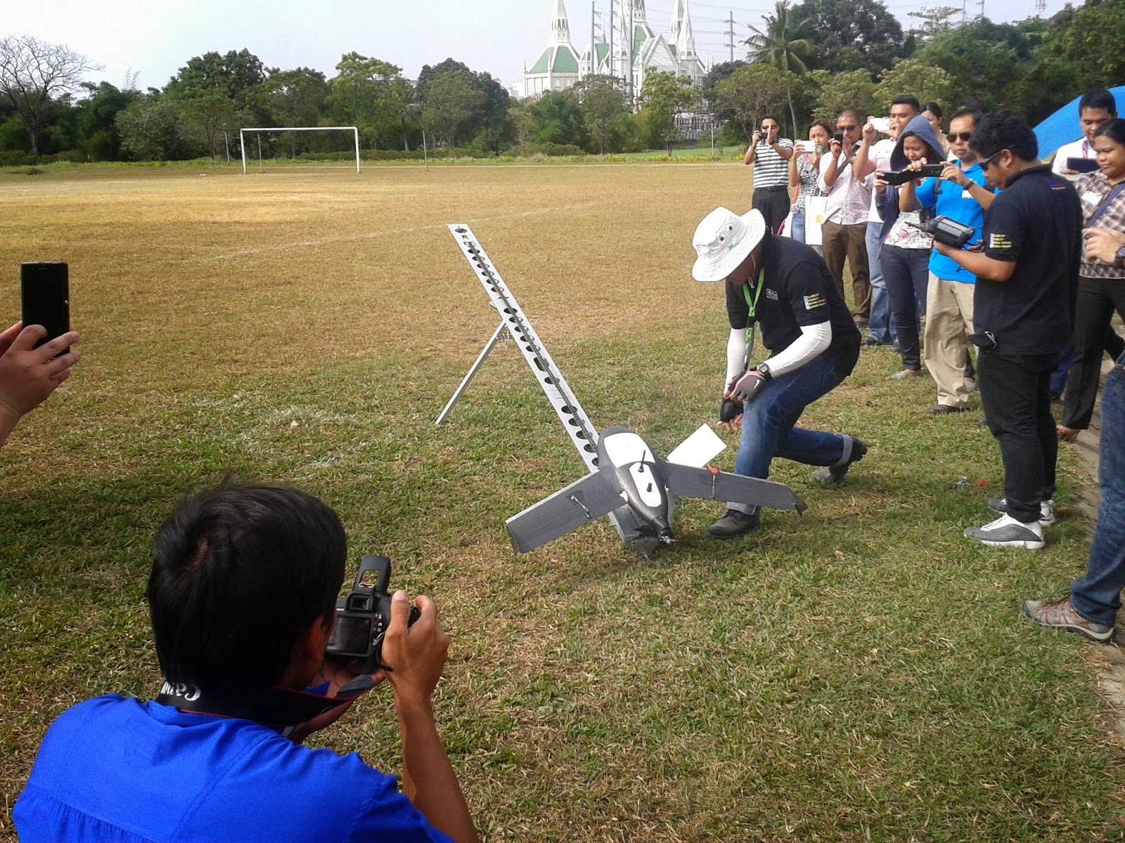
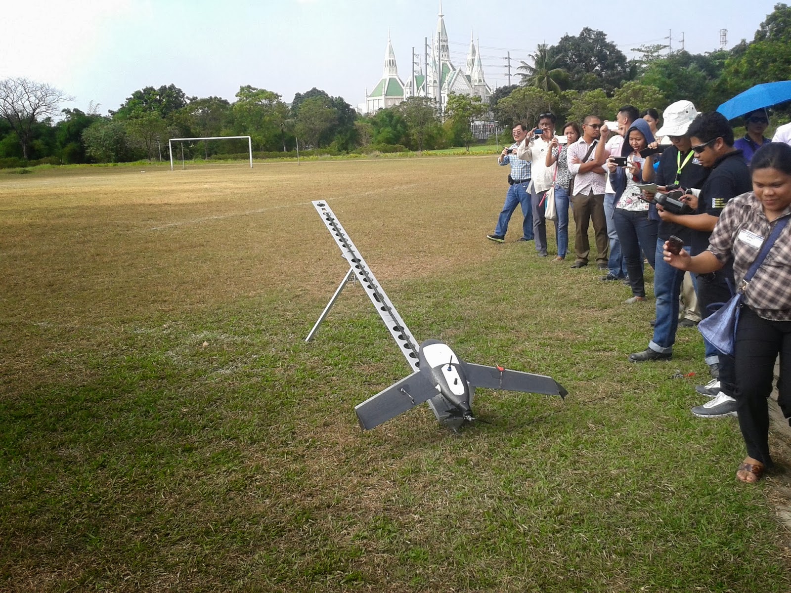
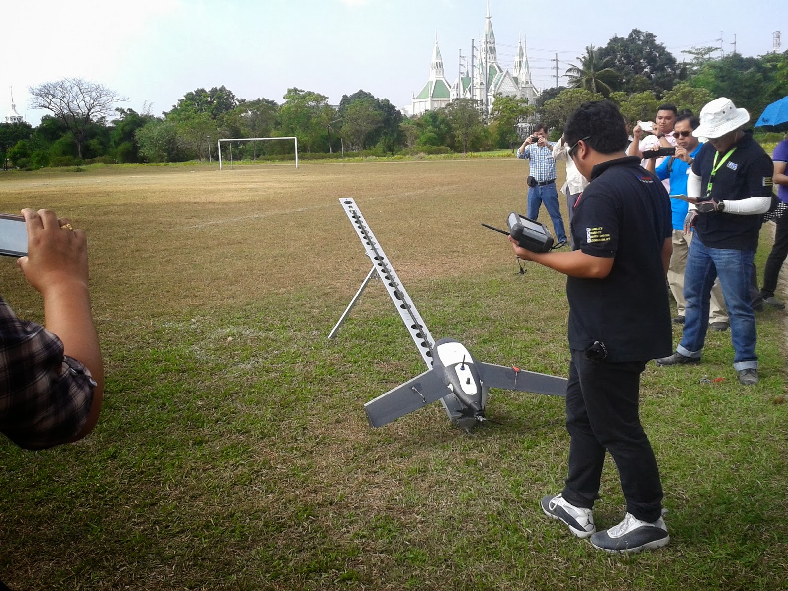
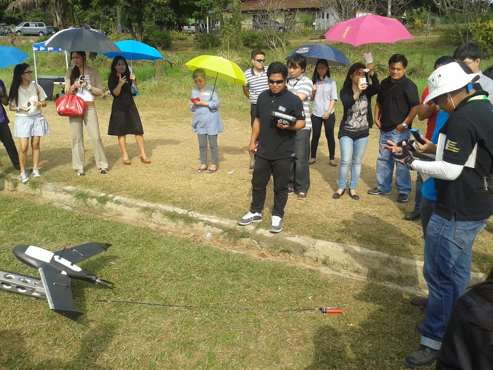


Launch ramp @ UP Track Oval

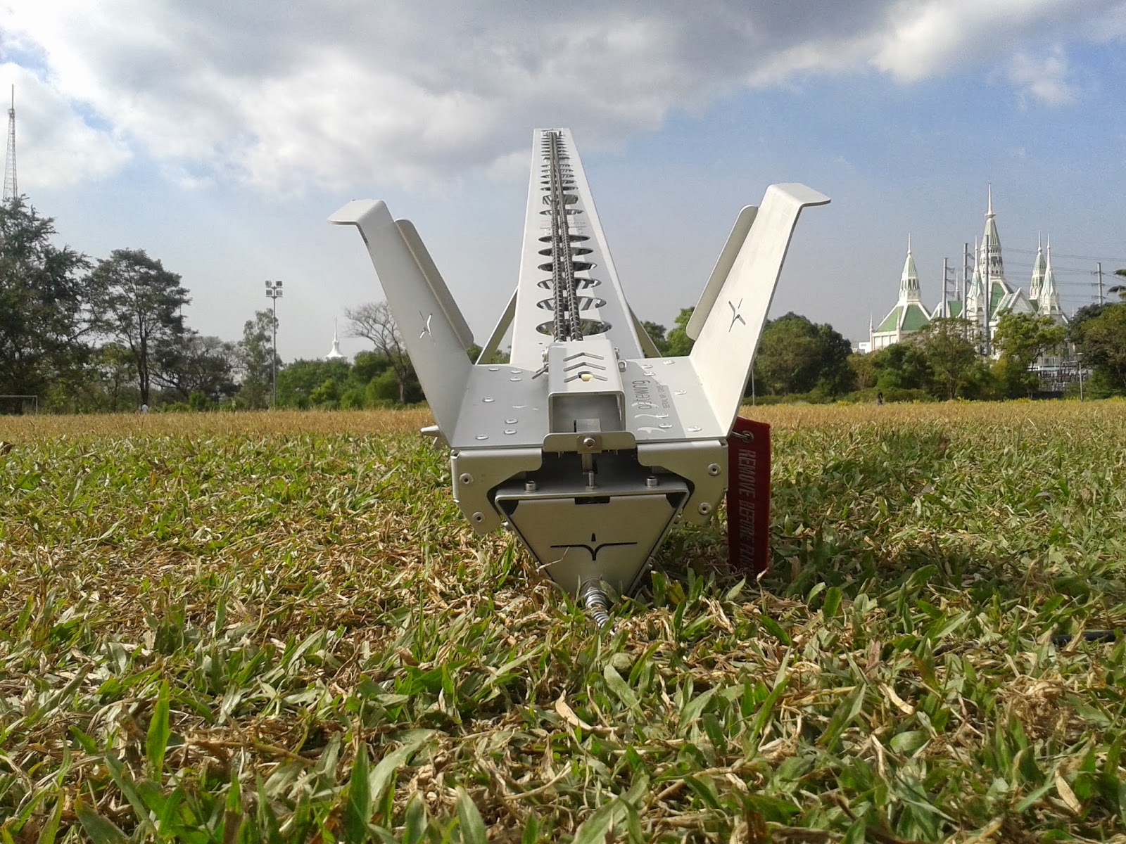
Gatewing X100 by Trimble

This old fella requires 4 Million PhP for total cost and upkeep

Planimetric accuracy for X100 is about 5 cm,
while the height accuracy is about 10 cm


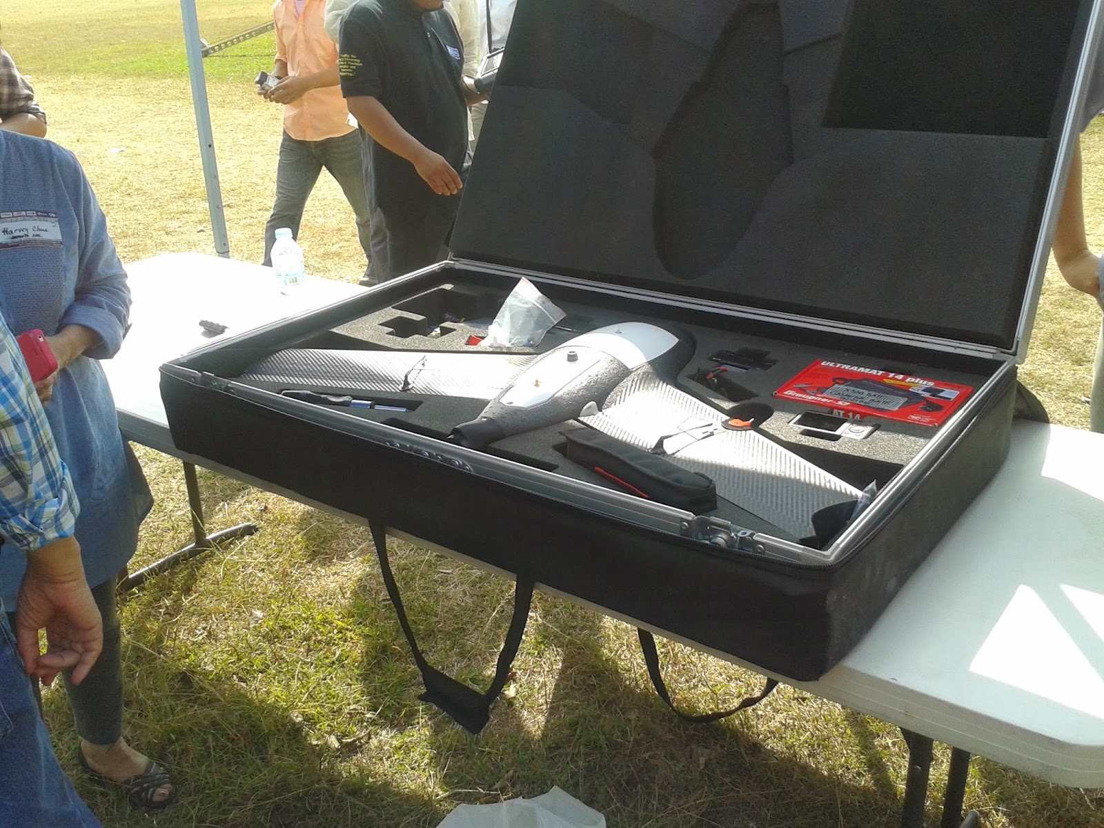
Pre-flight check/calibration for controls and instrumentation
must be performed first to ensure efficiency of the flight plan


UP Dept of Geodetic Engineering Chair Dr. Ariel Blanco
do the honors of launching the X100

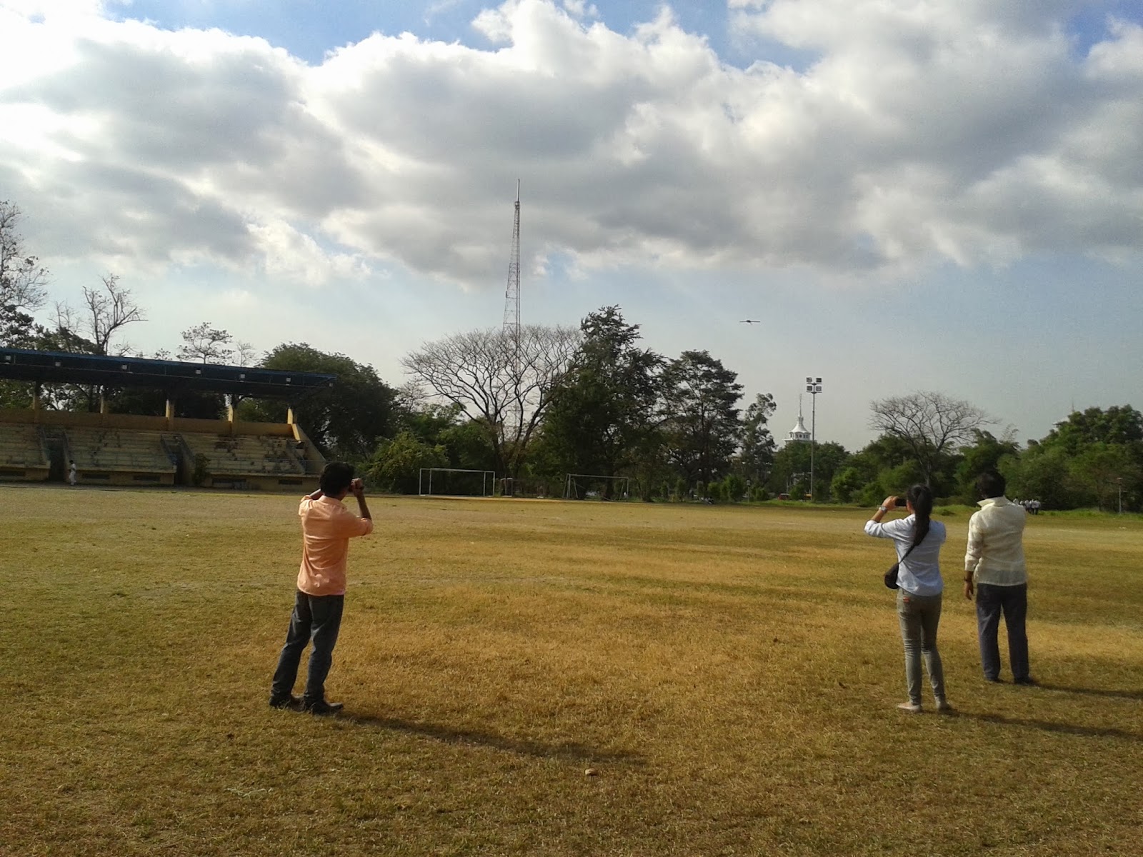
Up, up, and away... Battery for the old fella can last
for only 45 minutes while airborne

Checking the position from the previously set Flight Lines.
Set to auto-pilot for the duration of the flight.

Approach to landing position

Back to earth (actually hitting the track curb seconds later)

Booktripper reporting!

No comments:
Post a Comment
Please share your comments here!